Distribution, health and threats to Mediterranean macroalgal forests: defining the baselines for their conservation and restoration
Overview5:13CCAI
paperi.ai
0:00 / 0:00
Jana Verdura, Lluc Rehues, Luisa Mangialajo, Simonetta Fraschetti, Zahira Belattmania, Silvia Bianchelli, Aurélie Blanfuné, Brahim Sabour, Antonia Chiarore, Roberto Danovaro, Erika Fabbrizzi, Sylvaine Giakoumi, Ljiljana Iveša, Stelios Katsanevakis, Eleni Kytinou, Ina Nasto, Athanasios Nikolaou, Sotiris Orfanidis, Gil Rilov, Fabio Rindi, Marta Sales, Maria Sini, Laura Tamburello, Thierry Thibaut, Konstantinos Tsirintanis, Emma Cebrián
Under the Mediterranean surface, forests made of large algae shelter life and support the sea’s workings. Yet the hardest part of saving them may be that, across much of the coast, nobody has measured their condition clearly enough.
Under the Mediterranean surface, forests made of large algae shelter life and support the sea’s workings. Yet the hardest part of saving them may be that, across much of the coast, nobody has measured their condition clearly enough. The worldwide decline of macroalgal forests is raising major concerns because of potentially negative consequences for biodiversity and the way ecosystems function.
Protecting and restoring these habitats requires information on where they are, how healthy they are, and what is driving their decline. The researchers gathered available information about these Mediterranean forests from published and unpublished sources, including their distribution, ecological status, and the pressures affecting them.
Here is the catch: most Mediterranean coasts remain under-studied, and the available information is concentrated in limited coastal areas and restricted to very few species. When health is reported, the data are so different that comparisons become difficult.
The goal was to build an updated picture of where these forests occur, how healthy they are, what drives their loss, and whether those pressures follow geographic patterns. The resulting baseline can reveal major gaps in species, stressors, and areas, helping identify where more investment, monitoring, and sampling effort are needed.
A baseline of this kind can identify gaps in knowledge and help direct money, monitoring, sampling, protection, and restoration toward the areas that need them most. To build that picture, the information was organized around simple questions: where the forests were reported, how healthy they were, which pressures were present, whether populations were increasing or decreasing, and when they were studied.
That matters because a useful map is not only a list of places. It also needs to connect each place with condition, change, and the pressures affecting it. After removing duplicate reports, 138 articles were used for data extraction.
After the screening process, the final dataset included one hundred thirty-eight articles that were selected and used for the study's data extraction. Where health information existed, forests in different conditions had been reported across all Mediterranean sub-basins.
But the balance was not the same everywhere. Poor condition was most common in reports from the Adriatic, Aegean, and Levantine seas, while good condition was reported most often in the northwestern Mediterranean, where occurrences were most numerous. The biggest blind spot concerned the pressures harming the forests: information about stressors was the least commonly reported, and only a minority of occurrences included specific information about them.
Among the pressures that were reported, poor water quality and habitat loss appeared most often, followed by heavy grazing by sea urchins and invasive fish. Climate-related impacts were reported less often than those pressures, even though they have been increasing in recent years.
The records span every Mediterranean sub-basin, but the ecological picture is uneven: in some places, many forests are reported in good condition, while others have substantial records of poor condition or no status information. The study highlights how difficult it is to establish a reliable baseline for where these forests are, how healthy they are, and what threatens them.
That information is essential for conservation and restoration, but it is generally scarce. Across the Mediterranean, the available knowledge remains highly limited overall, unevenly distributed in space, and biased toward a few species.
Long-term monitoring has focused on certain regions, while much of the remaining Mediterranean coastline still lacks comparable information and coverage. Many surveys offer only scattered spatial points, such as sampling coordinates, without showing the area or extent of the population.
In other words, these low-resolution dots show where sampling occurred, but they often do not reveal the population's area or full extent. The practical answer is to bring information about locations together with a clear understanding of the pressures threatening each population.
Management must reduce local and global pressures, including poor water quality and excessive grazing. There are reasons for hope: some populations recovered naturally after pollution or nutrient pollution in seawater declined, and after grazing pressure was reduced.
Climate change is already affecting some populations and cannot be easily reduced locally. That makes it important to strengthen healthy and more tolerant populations, find places that may shelter heat-sensitive ones, and identify areas likely to face the greatest human impacts.
The Mediterranean does not have one clear health map for these underwater forests: knowledge is sparse, uneven, and often uses incompatible measures. Better shared monitoring can show where protection, pollution control, and restoration matter most.
A derivative work by Paperi · AI-generated script, voice and captions
· pages and figures unaltered
Made with Paperi.
Drop in a research PDF — get a narrated video walkthrough like this one,
with highlights that follow the narration. Free to start.
Samantha Petch, Bo Dong, Tristan L. Quaife, Robert P. King, Keith Haines
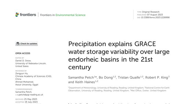
When a satellite detects water rising and falling across an entire inland basin, what is really driving those changes? This study finds that rainfall, more than water leaving the ground, explains much of the year-to-year movement.Satellites can see Earth’s hidden water move, but what causes those changes? Across six closed basins, this study finds that precipitation tracks the year-to-year GRACE signal far better than evapotranspiration.
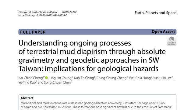
The ground near a mud volcano is not merely shifting upward; it is apparently gaining mass from below. In southwestern Taiwan, that hidden change may increase hazards over time.What if the ground is gaining mass from below, even without a dramatic eruption? At a Taiwanese mud volcano, gravity measurements reveal a persistent increase that ordinary surface observations cannot explain.
Qi Li, Bin Ji, Wencai Zhang, Rick Q. Honaker, Xinbo Yang, James C. Hower
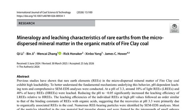
Coal is usually burned for energy, but it can also hide rare earths, materials needed in many modern technologies. The surprise is that the easiest ones to release are not distributed evenly: acidity changes which rare earths come out.Fire Clay coal releases rare earth elements in two distinct ways: some are easily leached from organic associations, while others require extreme acidity to dissolve the tiny minerals dispersed through the coal.
 4:18