Tsunamigenic potential of flank instabilities of Kameni Volcano inside Santorini Caldera, southern Aegean
Overview3:49CCAI
paperi.ai
0:00 / 0:00
Benedikt Bauer, J. Preine, P. Nomikou, Tom Kwasnitschka, María Blanch Jover, Jens Karstens, Félix Gross, Lars Helmuth Rüpke, Heidrun Kopp
Santorini’s volcano could pose a tsunami threat not only through an eruption, but through a sudden collapse of its own side. The most severe modeled wave could reach thirty-nine meters.
Santorini’s volcano could pose a tsunami threat not only through an eruption, but through a sudden collapse of its own side. The most severe modeled wave could reach thirty-nine meters. Tsunamis generated by volcanic island collapses present a recognized threat to coastal communities and infrastructure.
In historical times, documented collapses have caused more than fifteen thousand casualties. But even much smaller events have the potential to trigger impactful tsunamis. A collapse at Stromboli caused destruction at coastal settlements, with waves reaching up to ten meters.
Recent results point to a previously overlooked hazard scenario for Santorini: thick, loose layers of pumice and ash lie inside the caldera. These deposits were placed during a submarine explosive eruption of Kameni Volcano in seven hundred twenty-six CE.
Later eruptions formed thick lava flows on top of slopes as steep as twenty degrees, made from loose pumice and ash. The heavy lava therefore sits above weaker material. The volcano also stands on a step in the ground linked to a major crack zone.
Earlier research identified the structure as potentially prone to a flank collapse, but this threat had not yet been measured. The combination is like a stack of heavy books resting on a tilted pile of loose sand: rapid growth, steep slopes, weak deposits, a structural break, and repeated volcanic unrest create the conditions for instability.
If part of Kameni Volcano failed, it could generate tsunamis inside the caldera and across the wider region. The study says this possibility belongs in regional hazard planning. To explore the range of possibilities, the study considered three different flank-collapse scenarios, chosen to cover a reasonable range of collapse size and direction.
The scenarios represented different lava flows formed during later eruptions, rather than a single exact prediction of what must happen. For slide A, the modeled tsunami was directed northwest and reached a smaller maximum height of two to four meters near Armeni. At Armeni, the first arrival followed one minute after the slide motion was initiated, giving the modeled timing for slide A.
For slide B, the wave reached between seven and thirteen meters just north of Firon, arriving there in less than thirty seconds. The largest scenario produced a wave between twenty-one and thirty-nine meters high at Korfou, with the first arrival one minute after the slide began.
Because the caldera is partly enclosed, waves could reflect and hit some coastal locations more than once during the first minutes. It makes the hazard’s shape visible: water spreads unevenly around the island, with broad offshore reach but more concentrated flooding along some shorelines.
Although the modeling is a first approximation, all three potential slides can produce coastal tsunami heights above two meters at several critical locations inside Santorini’s caldera. The larger two scenarios reach much higher than two meters, matching the high wave sizes shown in the study’s other results.
The study concludes that a localized failure involving the largest modeled volume could generate tsunami amplitudes of up to thirty-nine meters. More importantly for people on shore, every modeled scenario produced waves above two meters at several primary ports, including Korfou, Armeni, Fira, and the Athinios ferry terminal.
The study finds that several possible flank collapses could send waves higher than two meters into important Santorini harbors. That makes watching the volcano’s slopes part of protecting people, ferries, and coastal infrastructure.
A derivative work by Paperi · AI-generated script, voice and captions
· pages and figures unaltered
Made with Paperi.
Drop in a research PDF — get a narrated video walkthrough like this one,
with highlights that follow the narration. Free to start.
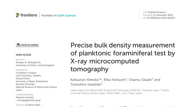
Tiny drifting shells help scientists reconstruct what the ocean was like in the past. Now, a scan can measure not only their shape, but how densely built they are, without breaking them open.A microscopic plankton shell can be weighed without touching it, and potentially with better repeatability than an ultra-microbalance. This study uses X-ray microcomputed tomography to turn imaging into precise bulk-density measurement.
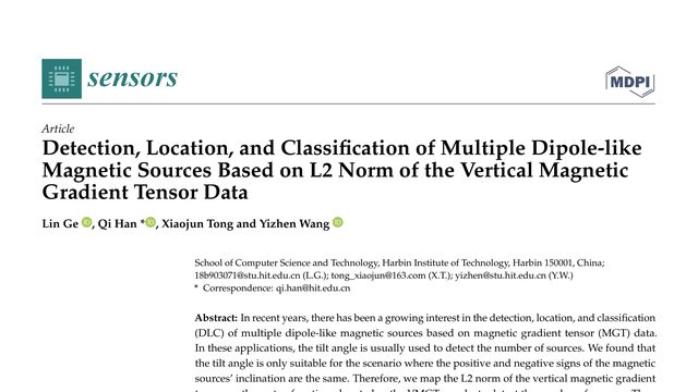
Finding hidden magnetic objects is difficult when their signals overlap. This study offers a way to count, locate, and distinguish several magnetic sources even when one source’s field covers another.What if the usual magnetic tilt angle can mistake interacting sources for extra anomalies? This paper replaces it with a gradient-based angle designed to count sources even when their inclinations have opposite signs.
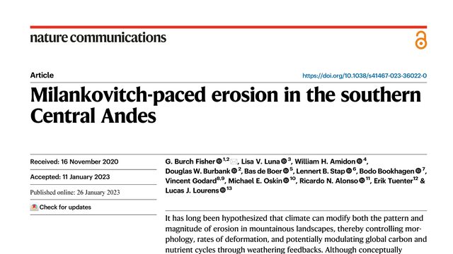
G. Burch Fisher, Lisa Luna, William H. Amidon, Douglas W. Burbank, Bas de Boer, Lennert B. Stap, Bodo Bookhagen, Vincent Godard, M. E. Oskin, Ricardo N. Alonso, E. Tuenter, Lucas Joost Lourens
A mountain landscape can react dramatically to surprisingly small changes in rainfall. In the southern Andes, erosion rose and fell in step with a slow rhythm in Earth’s orbit.What if a relatively small change in rainfall could trigger an order-of-magnitude change in erosion? In the southern Central Andes, erosion appears to pulse in step with a four-hundred-thousand-year orbital rhythm.
 3:43